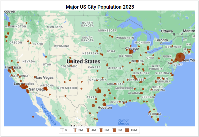
By using a Google Map in your chart, you can lend a degree of realism to your geographical data, and provide important geographical context such as mountains, rivers, highways, and landmarks. Learn how to build Google Maps charts with InetSoft’s solution here.


