Who Uses Interactive Map Visualizations?

Interactive map visualizations are used by a wide range of individuals and organizations across various industries. Here are some examples of who uses interactive map visualizations:

1.      Researchers and scientists: Interactive maps are used by researchers and scientists to visualize data and explore spatial patterns. They can analyze geographic information, conduct spatial analysis, and present their findings using interactive maps.

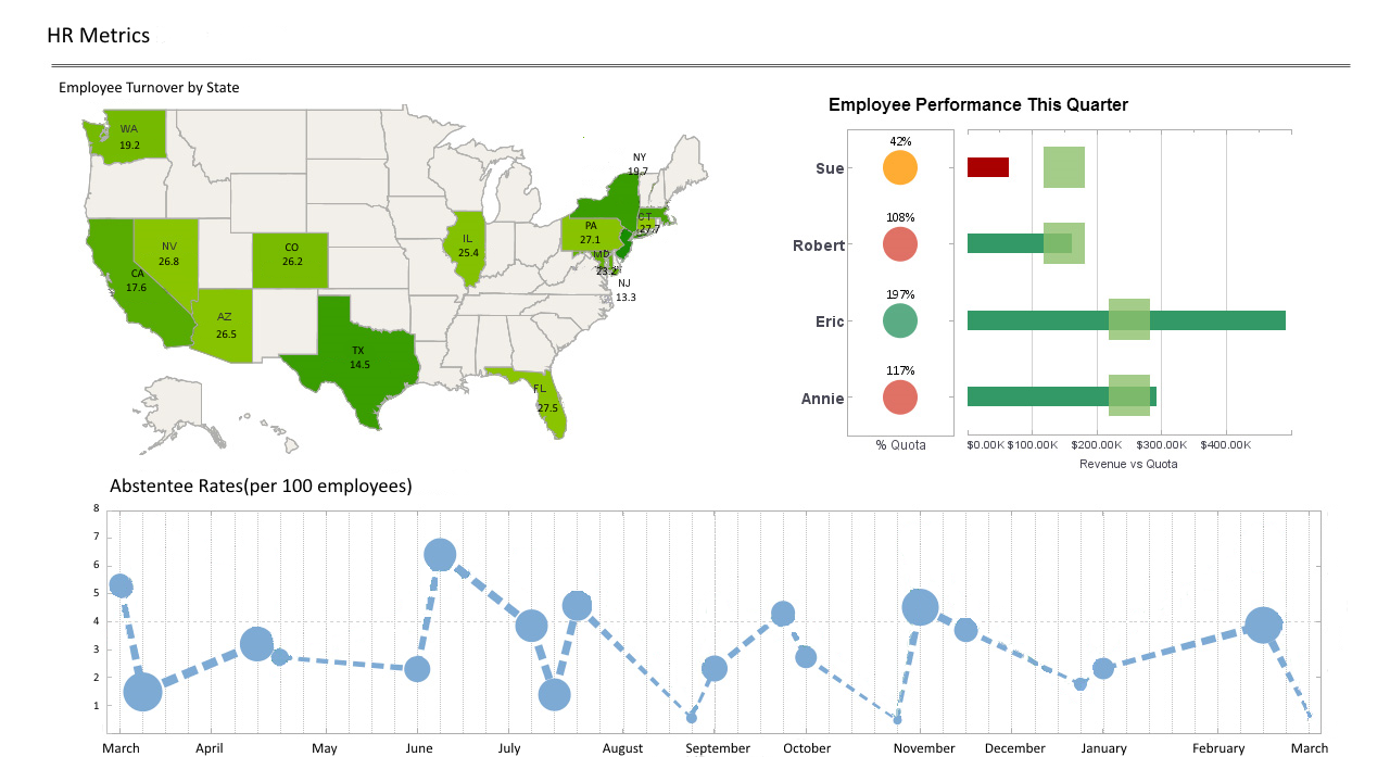
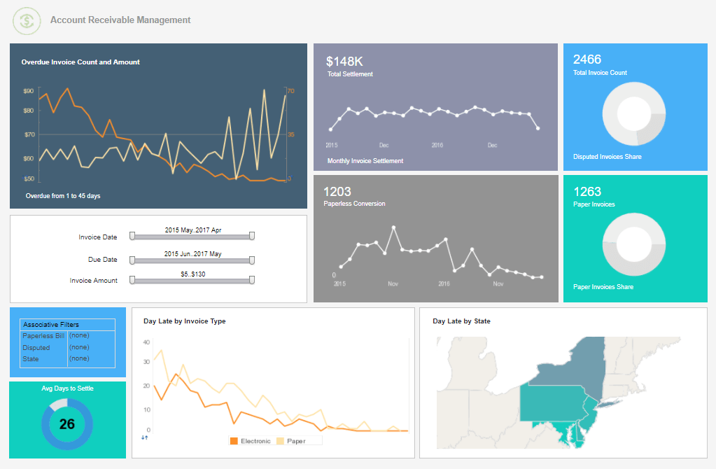
2.      Government agencies: Government agencies at local, regional, and national levels utilize interactive map visualizations for urban planning, transportation management, disaster response, environmental monitoring, and public health analysis. These maps help them make informed decisions and communicate information to the public.

3.      Non-profit organizations: Non-profit organizations working on social and environmental issues often employ interactive maps to display data related to their causes. They can use maps to highlight areas of need, track progress, and engage with their supporters.
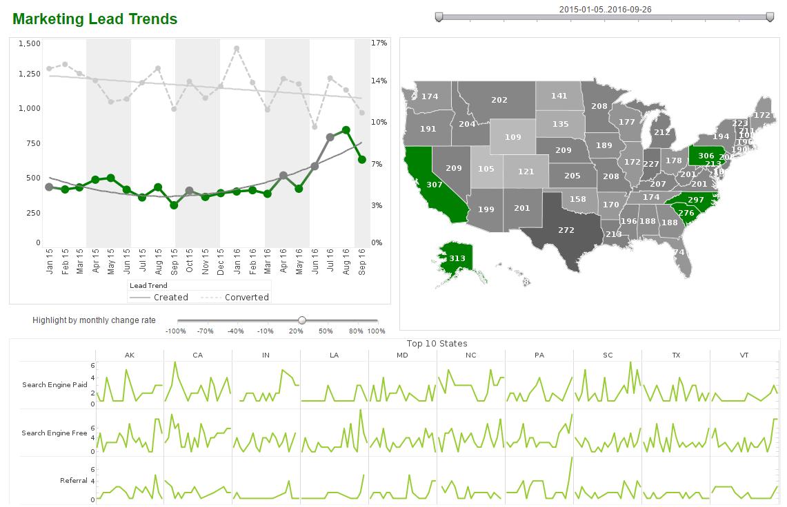
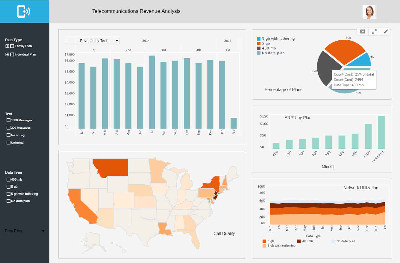
interactive map  visualization for marketing

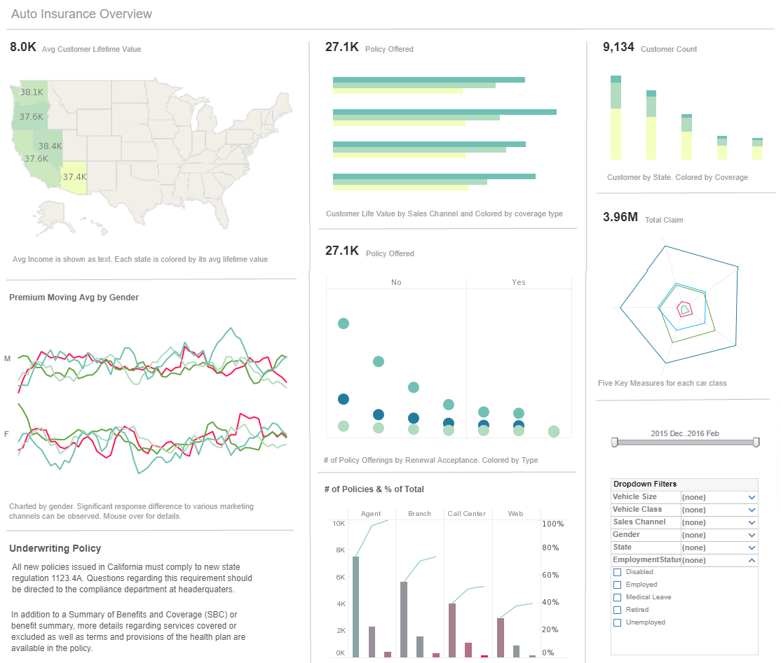
4.      Businesses and marketers: Businesses use interactive maps for market research, site selection, and customer analysis. They can visualize sales data, customer demographics, and other business-related information to identify target markets and make strategic decisions.

5.      Travel and tourism industry: Travel agencies, tourism boards, and hospitality companies make use of interactive maps to showcase destinations, attractions, and services. Interactive maps can provide information about hotels, restaurants, landmarks, and transportation options, helping travelers plan their trips.

6.      Real estate professionals: Real estate agents and property developers use interactive maps to display available properties, show property boundaries, and provide information about amenities and nearby facilities. These maps can aid in property search, valuation, and investment decisions.

7.      Education and academia: Interactive maps are valuable tools for educators and students to explore geography, history, and various subjects. They can illustrate geographical concepts, track historical events, and enable collaborative learning.

8.      Journalists and media organizations: Journalists use interactive maps to present news stories in a visually engaging manner. Maps can provide context, display data related to the story, and help readers understand complex topics.

9.      Transportation and logistics: Transportation companies and logistics providers use interactive maps to optimize routes, track shipments, and monitor vehicle locations in real-time. These maps enable efficient planning, resource allocation, and timely delivery.

10.     General public: Interactive maps are accessible to the general public through online platforms and mobile applications. People use them for navigation, finding points of interest, checking traffic conditions, and exploring local information.

What Are Some Examples of Using Interactive Map Visualizations?

There are numerous examples of using interactive map visualizations across various fields. Here are a few examples to illustrate their applications:

1.      COVID-19 Tracking: During the COVID-19 pandemic, interactive maps have been extensively used to track the spread of the virus. They display real-time data on the number of cases, deaths, and recoveries at global, national, and local levels. Users can zoom in to specific regions, view hotspots, and access additional information such as testing centers and healthcare facilities.

2.      Election Results: Interactive maps are commonly used during elections to present and analyze results. They allow users to explore voting patterns, turnout rates, and electoral district boundaries. Users can click on specific regions to access detailed information about each constituency and view the outcome of individual races.

3.      Real-Time Weather Tracking: Weather services and meteorological organizations utilize interactive maps to display real-time weather conditions. Users can see animated radar images, check temperature and precipitation levels, and track severe weather events such as hurricanes or thunderstorms. These maps enable individuals to make informed decisions based on weather forecasts.


4.      Urban Planning and Infrastructure: City planners and architects use interactive maps to visualize proposed developments, infrastructure projects, and zoning regulations. Maps can show the location of new buildings, transportation networks, parks, and utilities. These visualizations help stakeholders understand the impact of urban changes and participate in the planning process.

5.      Environmental Monitoring: Environmental organizations and researchers employ interactive maps to monitor and visualize data on ecosystems, wildlife habitats, and natural resources. Maps can show biodiversity hotspots, deforestation rates, water quality, and air pollution levels. These visualizations aid in conservation efforts, environmental research, and policy-making.

6.      Transportation Navigation: Interactive maps are widely used for navigation and routing in various transportation modes. Users can input their desired destinations, and the maps provide turn-by-turn directions, estimated travel times, and alternative routes. They also incorporate real-time traffic information, public transit options, and points of interest along the way.

7.      Historical and Cultural Exploration: Interactive maps offer a way to explore historical events, landmarks, and cultural heritage sites. Users can access virtual tours, historical photographs, and interactive narratives associated with specific locations. These maps provide an immersive experience for learning about the past and cultural significance.

8.      Business Location Analysis: Businesses use interactive maps for location analysis when considering opening new stores or branches. They can assess factors such as demographics, competitor locations, and customer density in different areas. These maps aid in identifying strategic locations for maximizing market reach and potential profitability.

9.      Tourism and Travel Planning: Interactive maps play a crucial role in travel planning, allowing users to explore destinations, attractions, and accommodations. They provide information on hotels, restaurants, popular landmarks, and recreational activities. Users can customize their itineraries, view reviews, and make bookings directly through the maps.

10.     Social Media Geotagging: Interactive maps are integrated into social media platforms, enabling users to geotag their posts and share their location with others. This feature allows individuals to discover nearby events, businesses, and points of interest recommended by their social network.